Monday, 19 June 2017

Boys walking week to Marlborough

Day 1 - Drive to Wooton Rivers and walk


The 3 Amigos 2017 walking break was to the ancient tracks across the Marlborough Downs - an area of significant archaeological sites. We had chosen a small pub in the village of Ogbourne St. George as our base and it turned out to be an excellent choice with friendly Landlord and staff; excellent beers and good food. The "Inn with the Well" - (Inn with the Well)  was a perfect choice.

We told the wives that we were going fishing ...


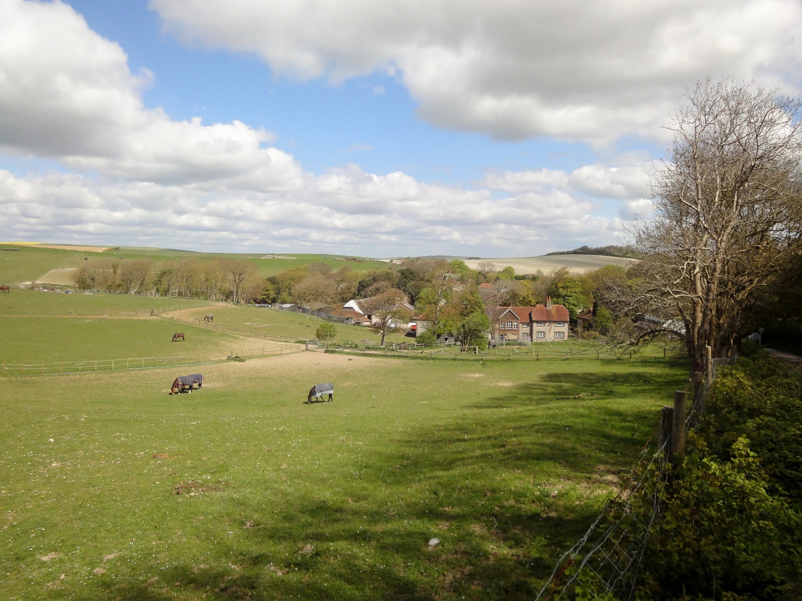
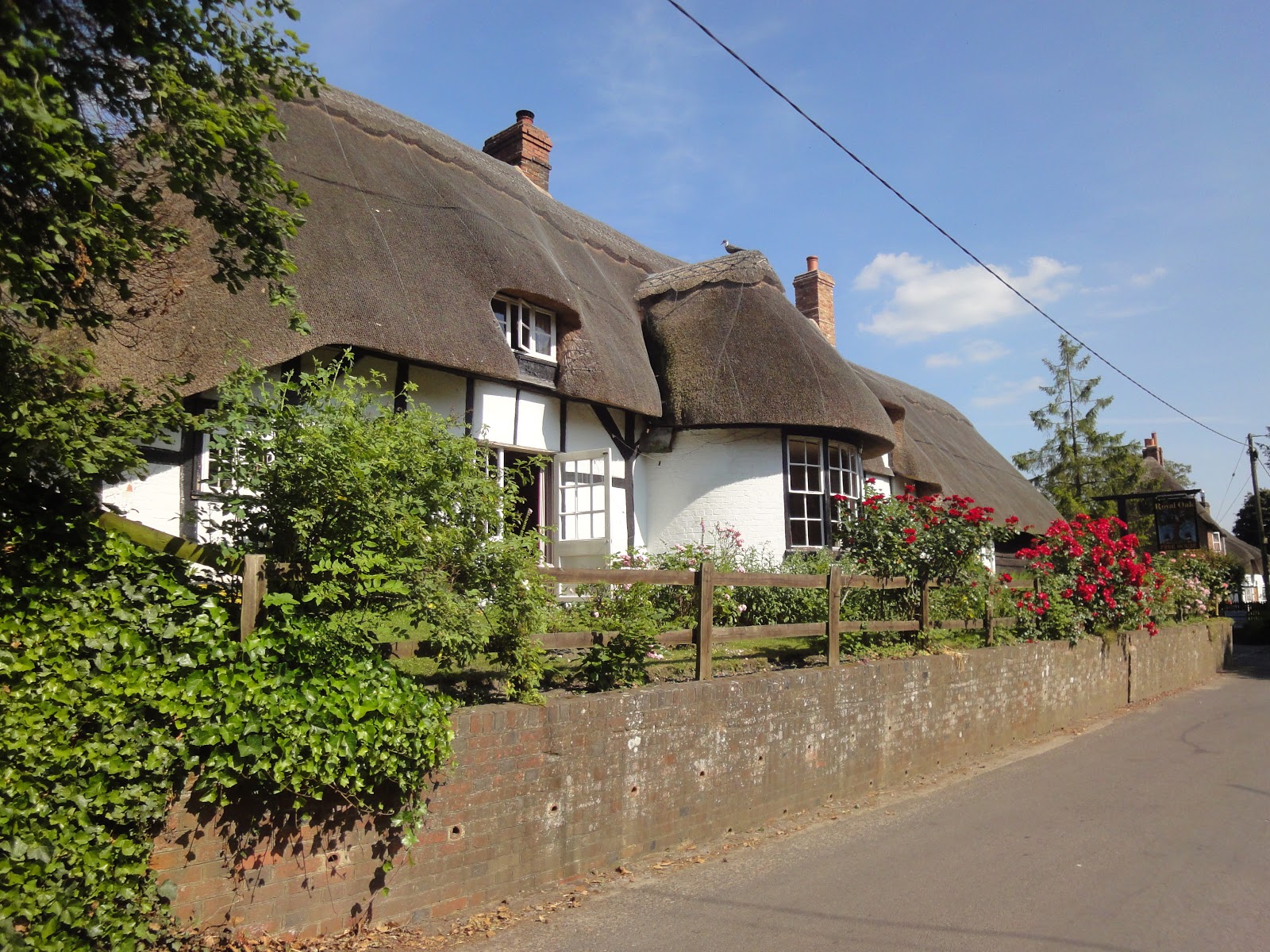
Not a bad drive down to Wiltshire and we found a great pub in Wooton Rivers for lunch before our afternoon walk.


The Pub in Wooton Rivers


Along the Kennet & Avon Canal


An Old Wharf on the canal - Burbage Wharf


The Ailesbury ColumnThis column in Savernake Forest was erected in 1781. The inscription on its base reads: "This Column was erected By Thomas Bruce Earl of Ailesbury As a Testimony Of Gratitude To his ever honoured Uncle, Charles Earl of Ailesbury and Elgin, who left to him these Estates And procured for him the Barony of Tottenham


Wonderful old mile-stone


Houses in the village of Wooton Rivers just outside Marlborough


Stats for the walk were...

Finished Hike: 19 Jun 2017, 16:19:44
Route: Wooton Rivers Loop
Weather:
temperature29°C
humidity51%
wind8 mph ENE
Hike Time: 2:31:03
Stopped Time: 22:39
Distance: 8.05 miles
Average: 3.2 mile per hr
Fastest Pace: 14:40 /mile
Ascent: 1213 feet
Descent: 1263 feet

Calories: 827

Monday, 12 June 2017

Greenwich Meridian Trail leg 4 - GMT 4

Wych Cross to Lingfield

This was not an inspiring leg of the trail. Nothing particularly wrong but no "oohh factors". Sure it took us through various bits of countryside plus the town of East Grinstead but at no point were we looking at wonderful sights or decent countryside. However, it was a warm dry day with hazy sunshine so we were exercising on not a bad day.

Being an end-to-end walk we had to again use two cars and met up at Lingfield before leaving one car there and driving back to the car park just outside of Wych cross where we ended the walk last time.

East Grinstead fell almost exactly at the halfway point of the walk and was the only place to stop for lunch. Plenty of pubs here so we chose "The Crown" and it served us well with lunch and beer. Having another 5 miles to go AFTER lunch is not a favourite pastime of ours but needs be as needs must and we plodded on. At least we had no big hills to climb!


Passing Weir Wood Reservoir
 
The Brighton Railway Line crossing Dorma Park lake

Stats for the day were...

Finished Hike: 12 Jun 2017, 15:10:02
Route: GMT-4
Weather:
temperature16°C
humidity68%
wind16 mph W
Hike Time: 3:18:47
Stopped Time: 1:22:49
Distance: 10.18 miles
Average: 3.07 mile per hr
Fastest Pace: 9:43 min/mile
Ascent: 1217 feet
Descent: 1675 feet

Calories: 1068

Saturday, 10 June 2017

Greenwich Meridian Trail leg 3 - GMT3

Newick to Wych Cross along the GMT

A nice summer day and time for another leg of the Greenwich Meridian Trail. Although this section dovetailed onto the two previous sections we have walked we chose to do this leg as North-to-South for a very important reason. The ONLY pub on route was only 3 miles out of Newick so if we walked South to North we would miss lunch !!

So we left one car in Newick and drove up to the "Goat" carpark about a mile west of Wych cross where we picked up the trail south. Much of the section down to Dane Hill was in woodland but the track was wide and good underfoot and the coolness under the tree canopy welcome in the humid air.

The countryside opened up a little more after Dane Hill and as we reached the Sussex Ouse River valley we crossed the Bluebell Railway line and reached our lunch stop at "The Sloop Inn". We have stopped here before and it was a delightful reunion.

A 3.5 mile last sector was regrettably mostly uphill and there was some puffing and blowing as we got into stride. This was a nice walk and one that we should repeat sometime. We have missed the Bluebells but it looks as if the woods we walked through had been covered in them and so maybe we should schedule a walk this was next spring.


A slight impediment - a fallen tree blocking the trail
 
The Church on the hill at Dane-Hill.
 
High cloud on our way towards the South Downs
 
The Sloop Inn

Stats for the day were...

Finished Hike: 30 May 2017, 14:42:48
Route: Wych Cross to Newick
Hike Time: 3:32:11
Stopped Time: 55:06
Distance: 10.52 miles
Average: 2.97 mile per hr
Fastest Pace: 14:26 min/mile
Ascent: 681 feet
Descent: 1094 feet

Calories: 1088

Monday, 22 May 2017

Around the Ashdown Forest

Colemans Hatch Loop

It was a beautiful summer day and with Ivan just back from holiday and Trevor having to be elsewhere it seemed a good idea to stay local and tread the "forest". Our good friends at Fancy Free Walks had posted a walk in part of the Ashdown Forest we don't often venture to - the North West quadrant. For the uninitiated, there are no Pubs actually on the forest but there are 4 good pubs around the edge and basically they fall approximately into the 4-quarters of the compass, so when we walk "the forest" we need to decide which quarter fits our taste for the day!

We parked up at one of the many small named car parks dotted around the forest edge. This one was called "Piglet" because it was close to 100 Acre Wood and the A A Milne memorial which overlooks it.

The trail took us around a clockwise loop and through some of the prettiest parts of the forest. In particular as we walked along the north west edge of the forest we were rewarded with wonderful views across the Weald of Kent. We resisted popping into the extremely posh "Ashdown Park Hotel for our lunch because a few miles further down the trail  the "Hatch Inn" at Colemans Hatch awaited our custom. We have of course dropped into this lovely old pub on several previous occasions but not for over a year now so it was good to re-acquaint ourselves again.

The only problem with this walk is that from this wonderful lunch stop its all up-hill for about 3 miles back to the car and so any benefit gained from lunch is quickly dispersed. Apart from a lesser spotted woodpecker and several rabbits we didn't see any interesting wildlife. But the birds were enjoying the sunshine because they were in full song at several places.

 
The Ashdown Forest is a great place to walk on a nice summer day


The Ashdown Park Hotel - a bit posh for us in our walking gear
 
The view across the Weald
 
The Hatch Inn - lunch stop
 
More views across the Weald


Stats for the day were ...

Finished Hike: 22 May 2017, 14:45:06
Route: Colemans Hatch Loop
Hike Time: 3:24:36
Stopped Time: 1:21:03
Distance: 10.12 miles
Average: 2.97 mile per hr
Fastest Pace: 16:04 min/mile
Ascent: 1836 feet
Descent: 1909 feet

Calories: 1078

Monday, 15 May 2017

A quick jaunt around the Medway Valley

Tonbridge - Five Oak Green loop

It was not a good day weather wise. Rain all morning but the forecast said it should all pass by 1-00pm. So with Ivan still parading his "Budgy Smugglers" along the beaches of Turkey Trevor and myself did the sensible thing and met up in the "Humphrey Bean" in Tonbridge to wait for the rain to pass.

This meant we were under time pressure so needed a local walk and the very pretty Medway River Valley worked perfectly for us. And after the ups & downs of last weeks walk this one was relatively flat - although I did remind Trevor that the walk back to Tonbridge against the flow of the river would all be "uphill" !

It remained sultry and humid all afternoon but at least we got a leg stretch in.

Stats for the day were...

Finished Hike: 15 May 2017, 15:32:25
Route: Medway Valley Loop
Hike Time: 3:06:42
Stopped Time: 46:48
Distance: 10.09 miles
Average: 3.24 mile per hr
Fastest Pace: 14:08 min/mile
Ascent: 1259 feet
Descent: 1284 feet

Calories: 1082

Monday, 8 May 2017

Around Meopham on the N Downs

Meopham - Stansted - Hodsoll Street loop

Not a pretty day but a very pretty and tough walk.  It was heavy cloud with a biting north wind but no rain. It was cold enough to wish I had some gloves with me and all we could think about was Ivan getting his eyebrows sun-bleached whilst lazing on a Turkish beach! Still, at least Trevor and me will still be fit when he returns!

This was another trek pinched from our good friends the "Fancy Free Walks" people. We haven't really walked in this quadrant before and the walk looked interesting and turned out to be excellent especially as it provided us with a new lunch-stop to add to the list.

We parked up at Meopham Green and walked West and then South-West through very rolling countryside. The Bluebells are still out but getting past their best but still a lovely sight. We often remark how different the N Downs are to the S Downs and again we found ourselves walking on chalk upland with masses of flint stones but constantly traversing deep steep valleys so it was hard on the legs.

The tiny parish of Ridley had an old well - Bowdler's Well with a thatched roof - opposite the church and a nice sculpture of an Angel. A plaque at the base gives the thoughts of the Ridley Angel including "I am the Ridley Angel, and proud to venture forth, though not as posh as Gabriel or the Angel of the North."

Heading back North again we arrived at the village of Hodsoll Street with its lovely village green and the "Green Man" pub where we took rest. It was a great place and we need to find some more walks in this area so we can do a follow-up visit just to check its as good second time around. Another good thing about this stop was that we were only a couple of miles from the finish so didn't have a long struggle after lunch!

Whilst we found the weather a little uncomfortable it seems the wildlife loved it. We saw some of the first Swallows and Swifts of the season back in the UK from Africa; A couple of Partridges flew across us; Skylarks were singing; Wild Parrots were squawking and Buzzards hovering. Often we see little signs of wildlife but today everything was out and singing.

 
The Ridley Angel and original Well
 
Ridley Church
 
The Green Man Pub
 
Hodsoll Street Village Green
 
Meopham Green Windmill
 
Meopham Green Windmill

Stats for the day were (and I did remember to switch the thing off at the end this week)

Finished Hike: 8 May 2017, 14:09:12
Route: Meopham FFW 9.0
Weather: 
temperature9°C
humidity76%
wind13 mph N
Hike Time: 3:01:02
Stopped Time: 59:05
Distance: 8.97 miles
Average: 2.97 mile per hr
Fastest Pace: 14:19 min/mile
Ascent: 1435 feet
Descent: 1465 feet

Calories: 967

Wednesday, 3 May 2017

Through the Speldhurst Bluebells

Speldhurst loop to the "Spotted Dog" and back

The Bluebells are at their peak just now and with Ivan busy packing for his holiday, Trevor and myself decided that there is no better sights than a wood full of Bluebells and the "Spotted Dog for lunch! Actually this was a "Fancy Free" walk and new to their web site but we of course had walked most of it one way or another over the past 4 years. However, the interesting thing was that we were walking it the other way around to our normal jaunts and this made it like a completely new walk.

We parked up at the village of Speldhurst, walked down the hill and then into Harwarton woods where the Bluebells were amazing. It is truly a wonderful sight at this time of year and no matter how many years you have seen them before, they take your breath away each year.

The trails we were following were a mixture of the Wealdway; The High Weald Way; and the Tunbridge Wells Circular, all of which we have completed over the past 4 years of walking. We dipped in and out of Bluebell woods as we made our way across towards Penshurst and Smart's Hill where our old friend "The Spotted Dog" resides. In places this is a very steep walk and we felt we deserved our lunch-stop break.

After lunch we stepped out to Poundsbridge and Stockland Green before turning back into Speldhurst and the car home. The weather forecast hadn't been good for the day but whilst we had to wear waterproofs it didn't actually start to rain until we were about a mile form the end so we didn't get as wet as we thought.

 
The two best sights in the world are a wood full of Bluebells...
 
... And a descent pub !

Stats for the day were once again a little compromised by not turning the damn walkmeter off at the end of the hike. My only excuse is that it was raining and so in a hurry to get the waterproofs off and me back in the car. Still, fortunately its easy to estimate details from the split timings...

Finished Hike: 3 May 2017, 15:07:19
Route: Speldhurst loop 3
Weather: 
temperature8°C
humidity93%
wind12 mph N
Hike Time: 3:43:42
Stopped Time: 55:58
Distance: 10.1 miles
Average: 2.9 mile per hr
Fastest Pace: 14:29 min/mile
Ascent: 1905 feet
Descent: 1913 feet

Calories: 1125

Monday, 24 April 2017

GMT-2 : Lewes to Newick

Lewes - Barcombe - Newick

Not a bad day weather-wise but rain was forecast anytime from mid-afternoon so it was best foot forward to get back to base before it started. We parked up at Newick and caught the bus to Lewes. A bit of forward planning had seen that the only pub on-route didn't do food on a Monday so Trevor found us a great little sandwich shop on the outskirts of Lewes and we each grabbed a baguette for later and a coffee.

The trail took us up onto the top of the South Downs. On the map it looked like a long hard pull uphill but in practice it wasn't too bad and in the morning sunshine it was a great climb. And then we immediately dropped down the north side of the downs to Offam and into the River Ouse valley again. At Hamsey we picked up the Ouse trail for a mile or so which we have walked previously before taking the spur to Barcombe and then Barcombe Cross where we stopped for a quick drink and to eat our packed lunch. We actually heard our first Cuckoo of the year on this stretch of the walk.

Off again to Chailey and then across to Newick and the drive home.


On top of Lewes common
 
Looking north across the Weald
 
Approaching Barcombe
 
Bluebells are just peaking at their best and make a beautiful sight
 
Llamas and friend 
 
Don't see many of these in wildest Sussex !
 
And in the next field we find Alpacas... 
 
Walking through the Bluebell Woods is amazing just now

Stats for the day have a bit of a hiccough ! I clearly forgot to switch the Walkmeter off for the drive home so the map and stats are a bit odd but its easy enough to see the 11.3 miles that we walked and to work out the averages...

Finished Hike: 24 Apr 2017, 15:20
Route: GMT-2
Hike Time: 3:46
Stopped Time: 0:30
Distance: 11.3 miles
Average: 3.0 mile per hr
Fastest Pace: 17 min/mile
Ascent: 1840 feet
Descent: 1770 feet

Calories: 1185

Tuesday, 18 April 2017

GMT-1: The first leg of the Greenwich Meridian Track

GMT Leg 1 - Peacehaven to Lewes

Our chosen long-distance walk for 2017 was decided as the Meridian Way or Greenwich Meridian Track (GMT) for its correct name. This trail crosses our region north to south and in our bit it stretches from Greenwich, London to Peacehaven where the most famous Zero Meridian drops off the cliff and into the English Channel. When plotted we think that 5 "chunks" or day walks will get us to Croydon on the southern edge of London. We are not sure if the urban walking from there to Greenwich is worth it but it might be useful next winter when the countryside is soggy and hard going.

So today we started out walking South to North at the Meridian Monument built by George V to mark the Zero meridian's point on the south coast of England. The track is made up of linked footpaths already in existence and so zig-zags around following the general direction of the meridian. Today it took us up and over the South Downs and then along the edge of the River Ouse valley and into Lewes. Fortunately for us it took us within half-a-mile or so of Rodmell where we knew of a nice little pub - The Abergavenny Arms - which provided us with refreshment after our long pull up the downs!

This was a very pleasant walk on a sunny day but with a biting northerly wind which made sure we kept a few layers of clothes on.

 
The George V monument
 
Ivan in the western hemisphere and Trevor in the East


Looking East along the English Channel coastline
 
Our new way marker - GMT disc's mark the trail


Walking down towards Rodmell
 
Its Oilseed Rape time and when the track goes through these crop fields it plays havoc with us 
 
Lunch stop - The Abergavenny arms


Stats for the day were ...

Finished Hike: 18 Apr 2017, 15:05:32
Route: GMP-1
Weather: 
temperature11°C
humidity54%
wind13 mph N
Hike Time: 3:10:46
Stopped Time: 57:05
Distance: 10.14 miles
Average: 3.1 mile per hr
Fastest Pace: 13:16 min/mile
Ascent: 1457
Descent: 1485
Calories: 1088

Monday, 10 April 2017

Around the Weald

Jarvis Brook - Marks Cross - Rotherfield loop

Another beautiful spring day. Trevor was baby-sitting and Ivan needed to get back by 4-00pm so we decided to stay local. Ivan had plotted this loop walk and swore it was only 7 miles long. 10.5 miles later we returned to the car ! Anyway, it was a good walk through great countryside and we did need the exercise.

We didn't walk last week and its amazing how the countryside changes in just 14 days in the springtime. Most of the trees are now bursting into life and the Bluebells are just starting to bloom in the sunny spots.

 
A WW2 Pill Box sited on a stream that is slowly eroding its foundations
 
Early Bluebells
 
Bluebells in the sunny spots
 
Lunch stop at the Mark Cross Inn

Stats for the day were ...

Finished Hike: 10 Apr 2017, 15:06:28
Route: New Route
Hike Time: 3:30:35
Stopped Time: 1:06:05
Distance: 10.45 miles
Average: 2.98 mile per hr
Fastest Pace: 15:06 min/mile
Ascent: 2038
Descent: 2219

Calories: 1118