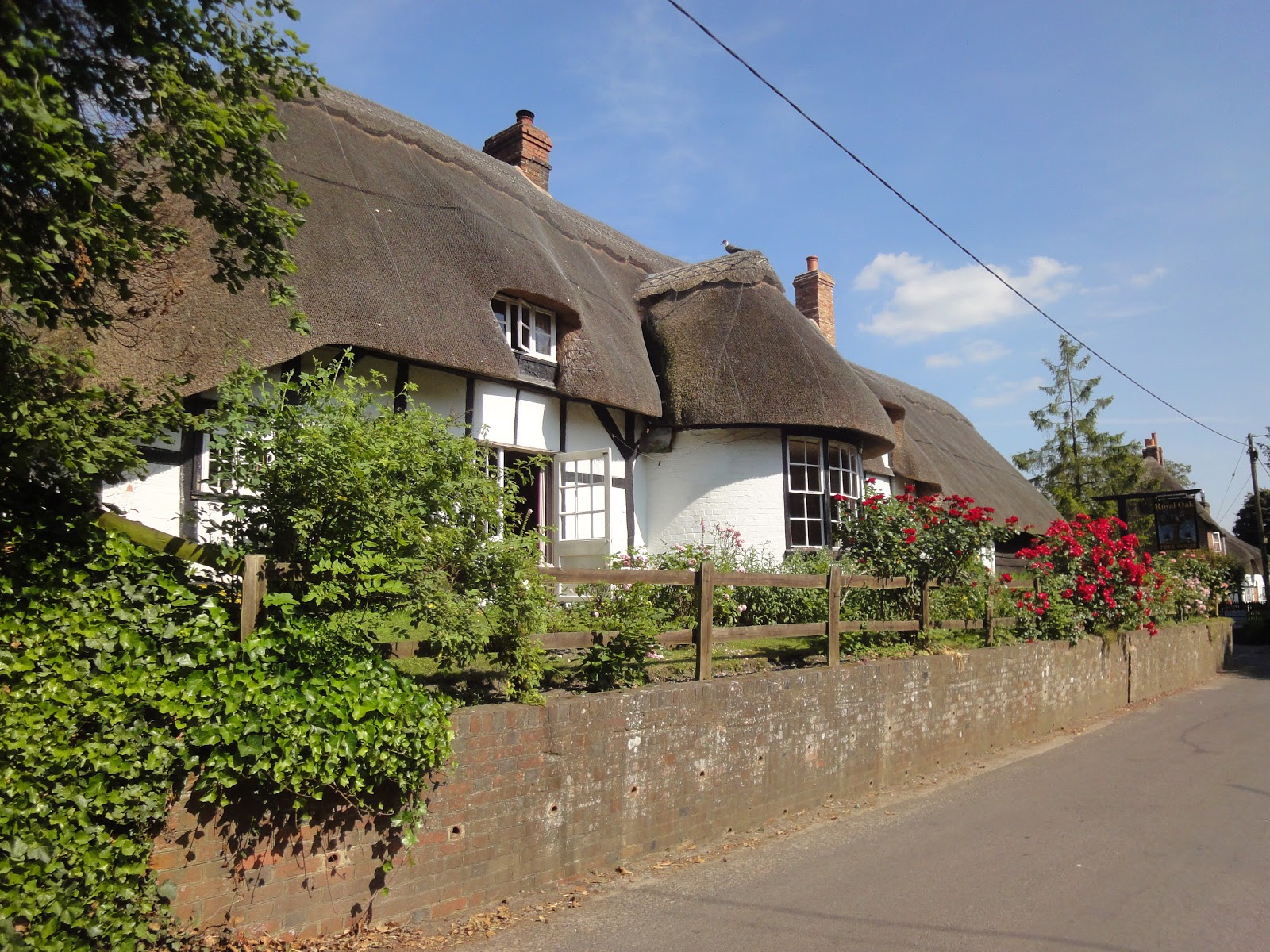
Ogbourne St George to Avebury and West Kennet Long Barrow
This was one of our two planned "Long Walks and was an exceptionally hot day so we had to carry lots of water plus a packed lunch! The walk up the downs from the pub was good but hard under-foot and the views tremendous. WE were on "The Ridgeway" which is Britains oldest road and was the original ancient track used for over 5,000 years as a trade route from the Dorset coast right through to the Wash on the Norfolk / Lincolnshire coast. (See The Ridgeway ). The high dry ground made travel easy and provided a measure of protection by giving traders a commanding view, warning against potential attacks.
Along the section we were walking we first came to Barbury Castle, a 2,500 year old Iron Age hill fort. (see Barbury Castle ) No matter how many times you see these hill forts you have to marvel at the feat of engineering that must have gone into building these steep earthworks and defensive ditches with only very fragile hand tools.
We carried on walking the Ridgeway as it became hotter and hotter and the reflected heat from the chalk and flint base of the track really didn't help. There was only sporadic shade and we took water stops wherever we could. Eventually we reached the Wessex Ridgeway, a side track that took us down the downs and into the ancient village of Avebury.
Avebury is one of the best known prehistoric sites in Britain, it contains the largest megalithic stone circle in the world, and is both a tourist attraction and a place of religious importance to contemporary pagans. Various human activity started in Avebury in early Neolithic times (around 6,000 years ago ) but the "Henge" ( a defensive ditch and ramp) was started slightly later around 5,000 years ago.
The outer stone circle with a diameter of 331.6 metres (1,088 ft), Britain's largest stone circle, was added about 500 years later and the Inner stone circles - The northern inner ring is 98 metres (322 ft) in diameter, but only two of its four standing stones remain upright and the southern inner ring was 108 metres (354 ft) in diameter before its destruction in the 18th century. For full details on Avebury see Avebury history).
Fortunately the Village of Avebury has a pub - The Red Lion - and we were able to grab a drink and re-fill our water bottles. By chance we had chosen to visit this site on the day before Mid-Summer sun-rise and the place was packed with "Hippies" and culture worshipers waiting for the Summer Solstice the following Dawn.
Refreshed we carried on our walk towards another ancient monument Silbury Hill. (See Silbury Hill ). Another major construction project from 4,500 years ago. Amazingly, nobody really knows why this "hill" was created but someone must have wanted it badly as its been estimated that it would take 18 million man-hours, equivalent to 500 men working for 15 years to deposit and shape 248,000 cubic metres (324,000 cu yd) of earth and fill to make this hill.
Our last call of the day was another mile or so further along our trail and was "West Kennet Long Barrow". This 5,600 year old Neolithic tomb has had its opening chamber and several side chambers excavated and its possible to enter into these (if you dare!). This is clearly a very important site for burials in the Neolithic period. It is not known how many people were buried here but archaeological remains have found at least 46 bodies. See West Kennet Long Barrow.
From here we walked another mile or so to West Kennet Village where we caught a bus back to Marlborough and then another bus up to Ogbourne St. George and our Inn.
 |
| The old Ridgeway Track. This ancient stone age "highway" was a major link from Wessex into the rest of ancient Britain. |
|
 |
| Views from the Ridgeway |
|
 |
| Reaching Barbury hill fort an ancient fortified enclosure built 200 years before the Romans arrives so circa 4,500 years old |
|
 |
| View from Barbury fort |
|
|
 |
| The defensive ditches surround the fort |
|
 |
| The Ridgeway track ahead of us. |
|
|
 |
| Further along the Ridgeway trail |
|
 |
| Arriving at Avebury |
|
|
 |
| The ditch and stone circle at Avebury |
|
|
|
 |
| Avebury is the largest man made stone circle in Europe - and nobody knows why or what it stood for. |
|
 |
| One of those Darn Hippies ! |
|
 |
| The "Red Lion" pub sitting amid the stones |
|
|
|
 |
| The village of Avebury has just built itself around the stones |
|
|
 |
| A poor worn out "Druid" waiting for the Summer Solstice at dawn tomorrow - or maybe a beer... |
|
|
|
 |
| Silbury Hill - again a very old monument from the stone age that nobody knows what it was built for. |
|
|
|
|
 |
| West Kennet Long Barrow - West Kennet an ancient burial place at least 5,000 years old |
|
 |
| View from the long Barrow with Silbury Hill in the background |
|
|
|
|
|
 |
| Three weary and very hot walkers almost at the end of their 13 mile walk |
|
 |
| Marlborough high street. |
|
Stats for the day were...
Finished Hike: 20 Jun 2017, 15:08:10
Route: Ogbourne St George to West Kennet
Weather:
| temperature | 24°C - 30°C |
| humidity | 79% |
| wind | 6 mph NNE |
Hike Time: 4:03:56
Stopped Time: 2:12:43
Distance: 13.01 miles
Average: 3.15 mile per hr
Fastest Pace: 11:09 /mile
Ascent: 1655 feet
Descent: 1671 feet
Calories: 1298